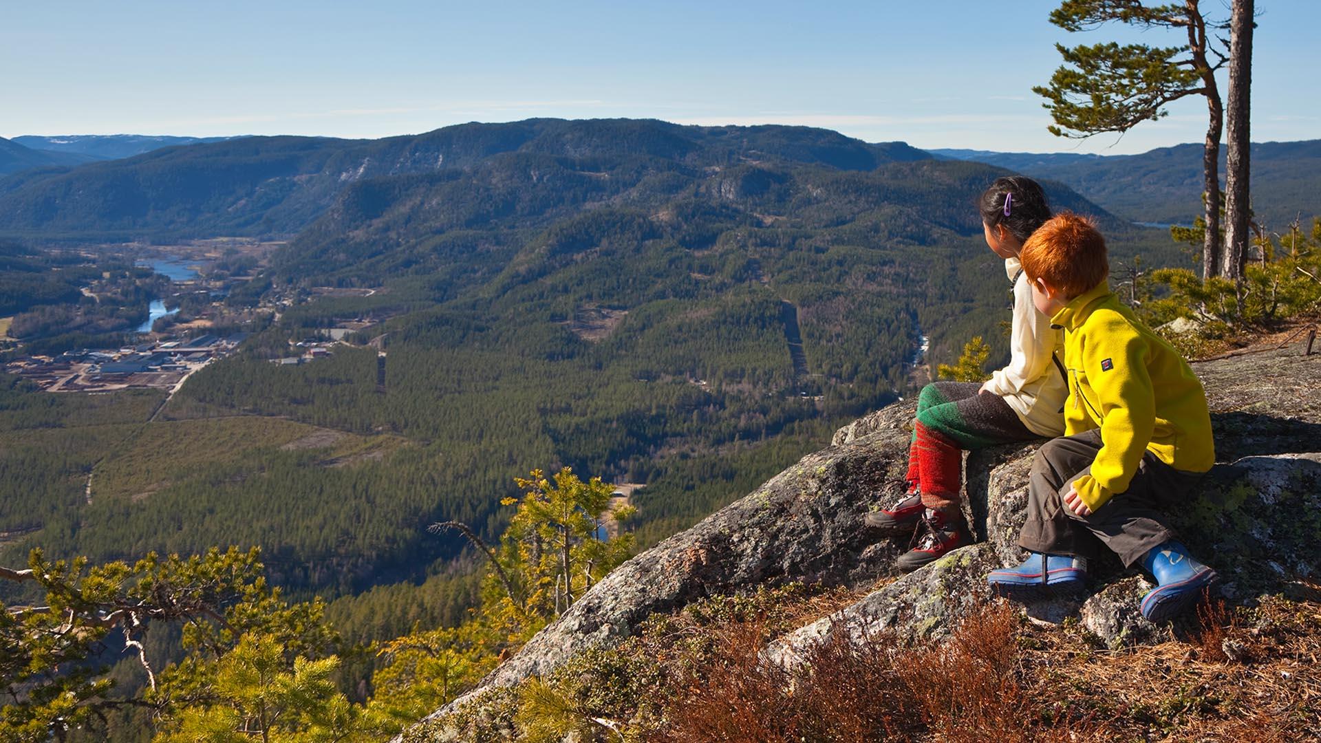
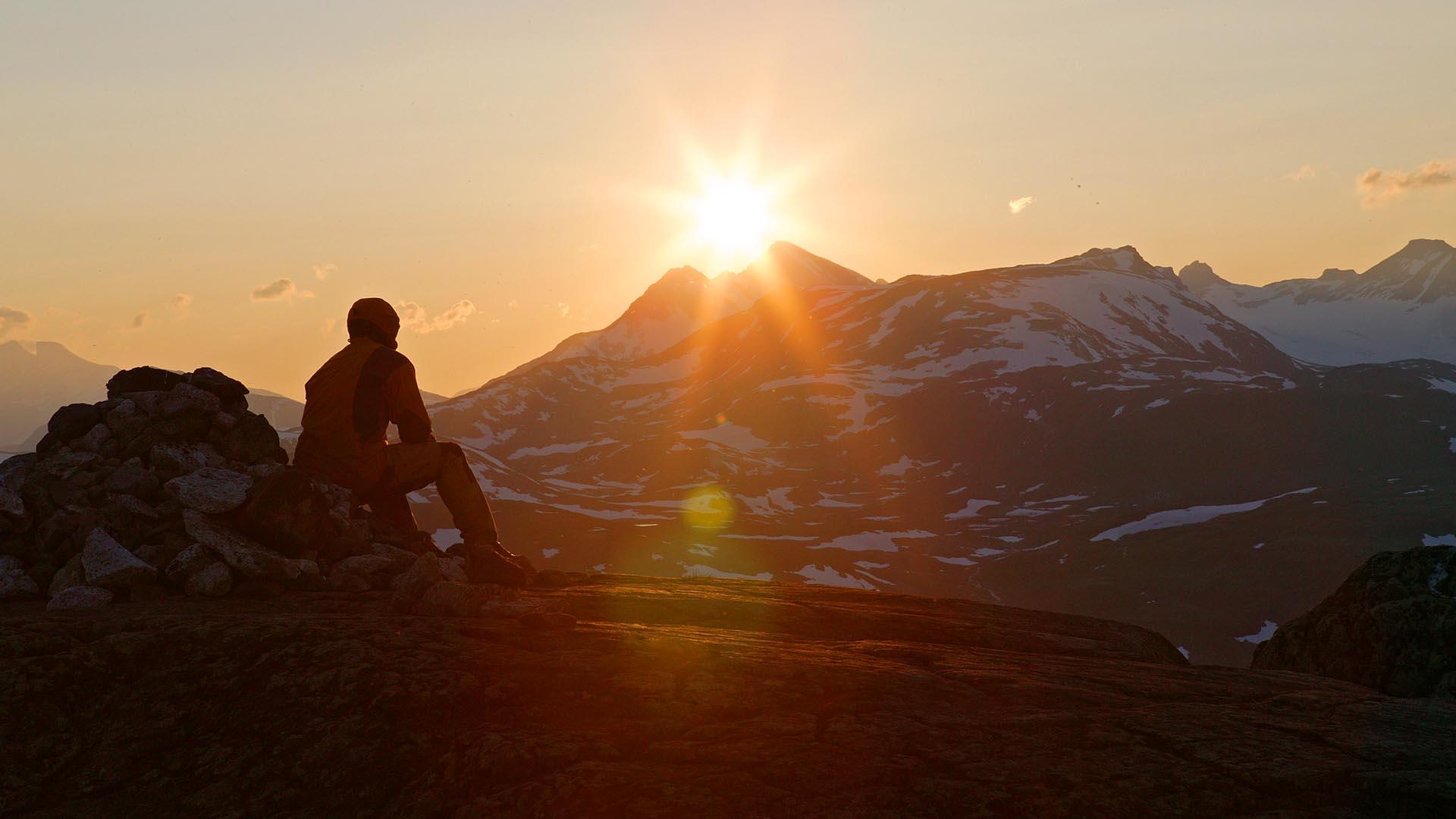
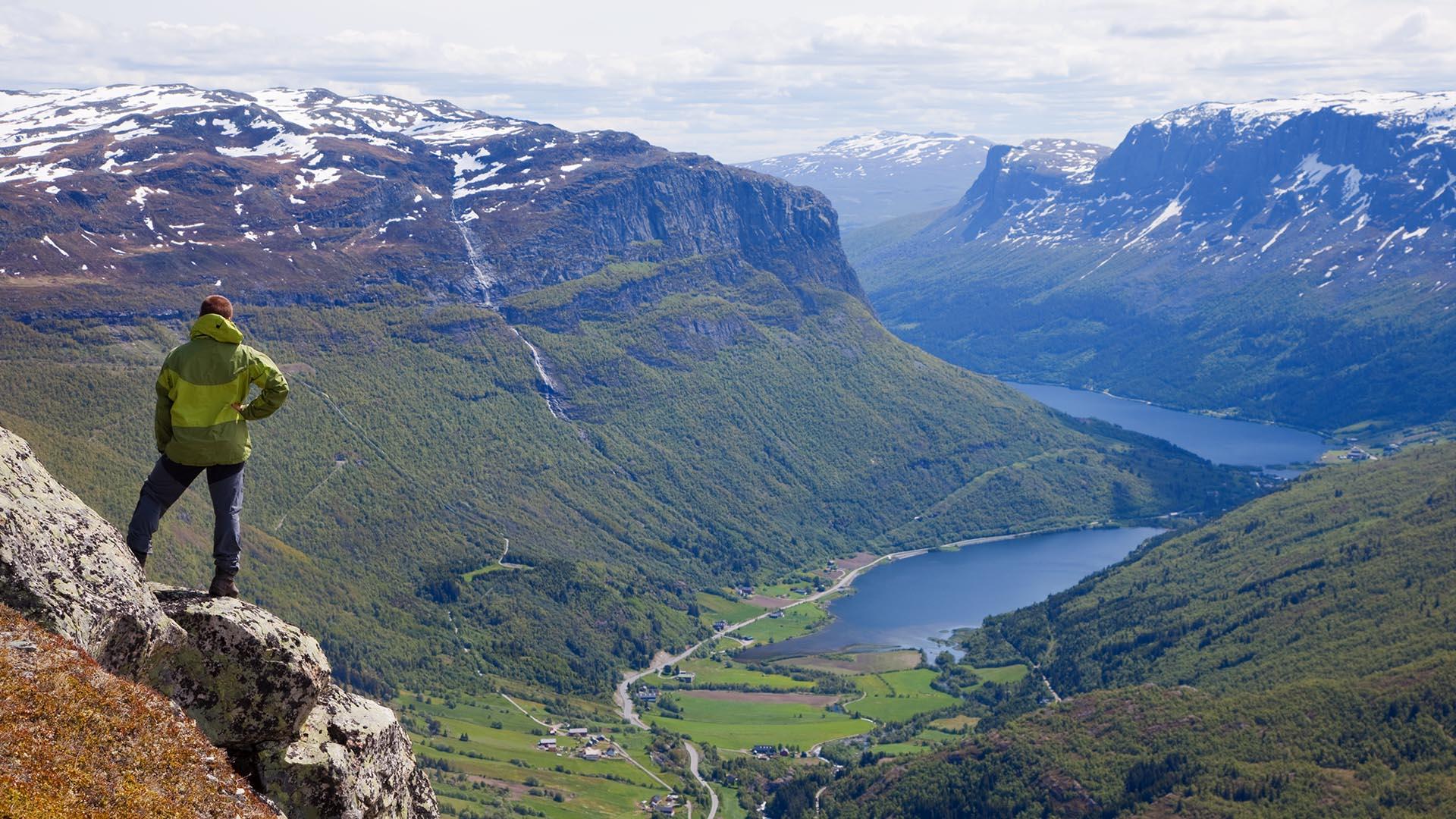
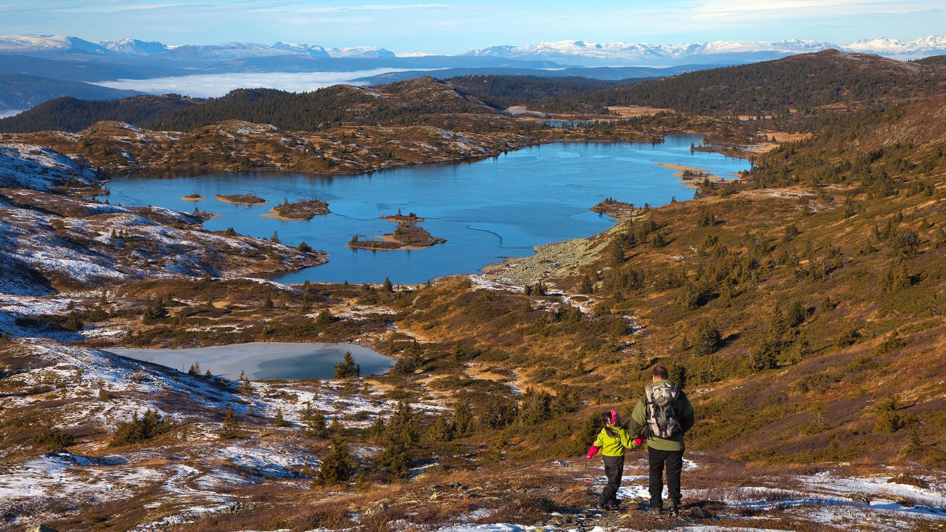
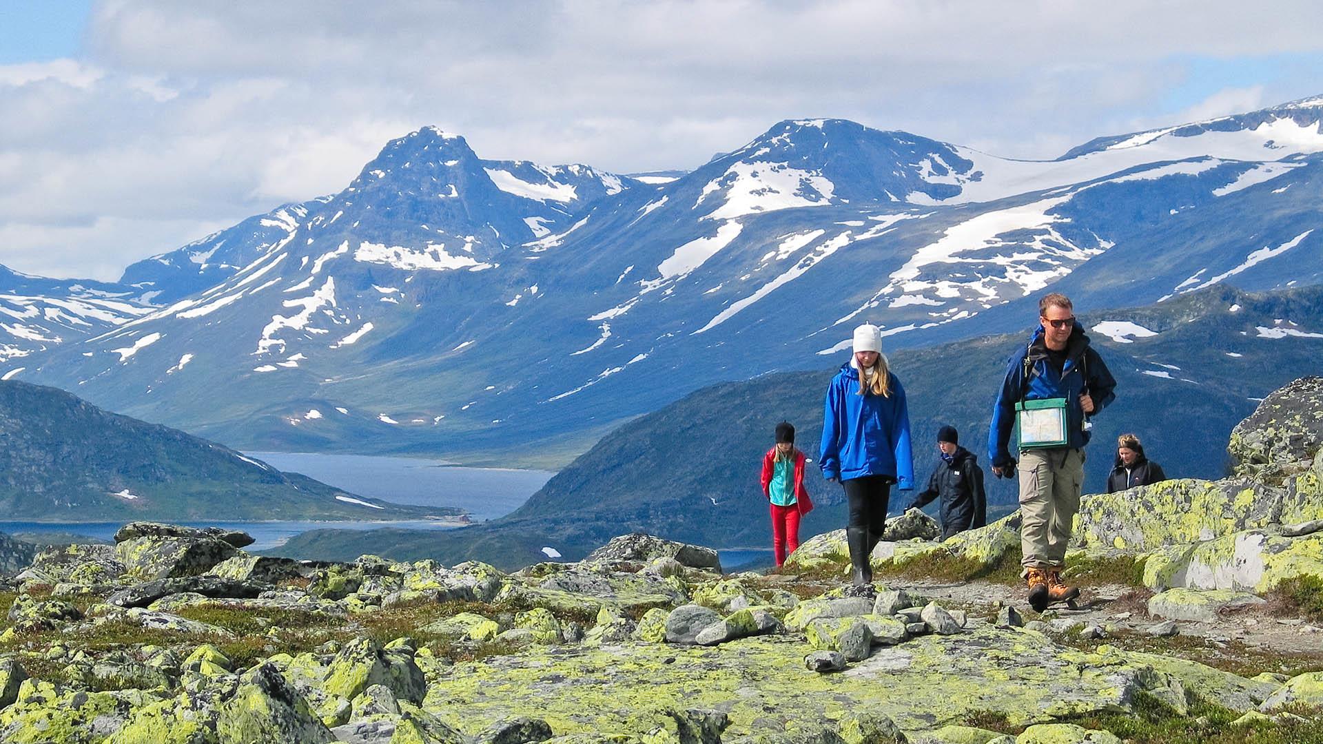
To make it easier for you to choose among the countless options, we recommend our selection of 30 family friendly walks all over Valdres. They are marked, easily accessible and most of them are suitable for baby carriers. Even the smallest feet can accomplish some of the walks by themselves, while others are a little more demanding.
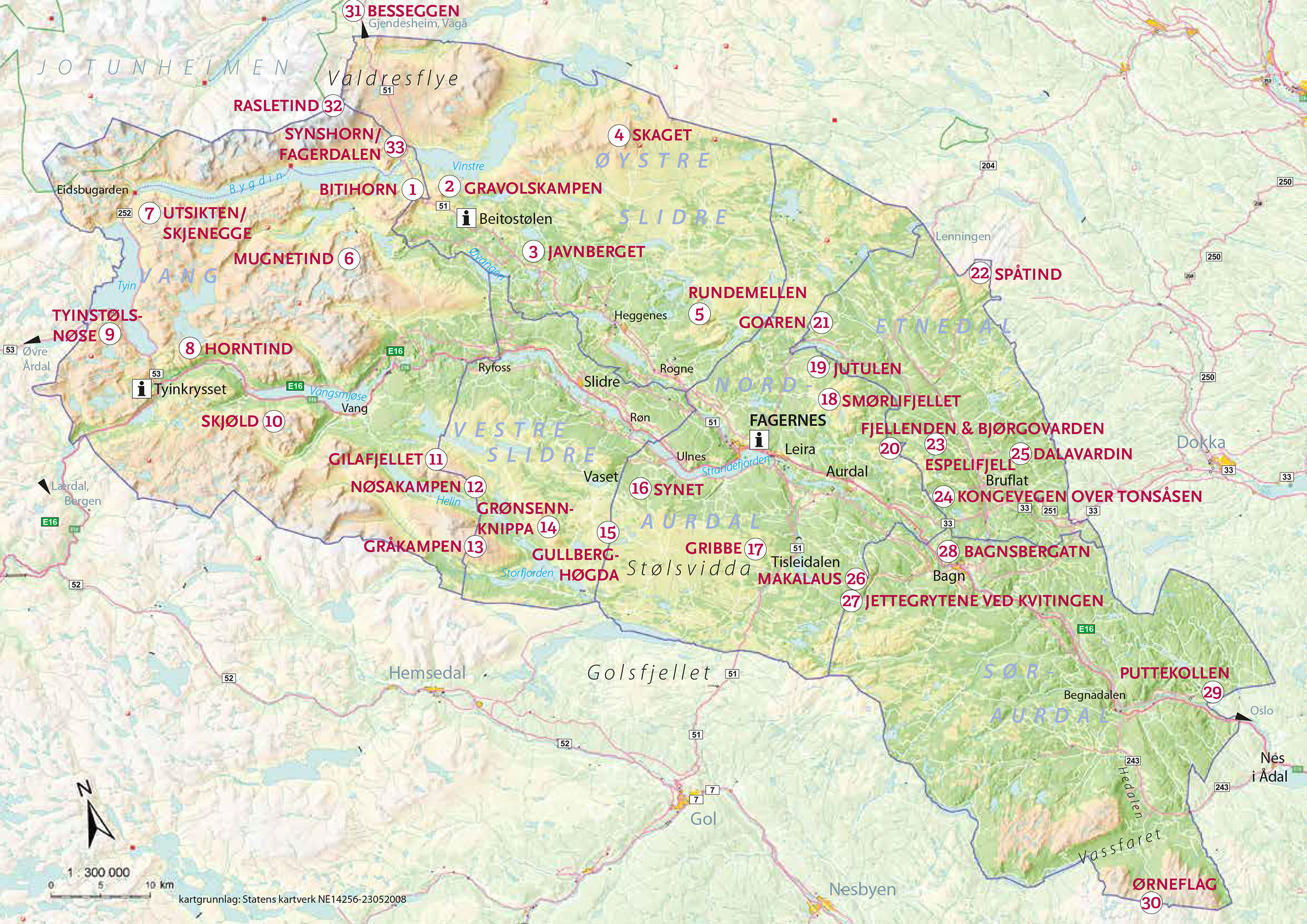
The map shows where in Valdres the hikes are located. Look up the specific hikes in the list below and click for a tour description and a downloadable PDF fact sheet.
Stop by our Tourist Informations for brochures, detailed hiking maps and recommendations.
Number of results:
Number of results: 32
, currently showing 1 to 20.
Rundemellen, 1345 masl
Øystre Slidre
Moderate, family friendly walk to the summit of Rundemellen, a well-known landmark that can be seen from many areas of Valdres and offers a…
Bjørgovarden 1138 masl
Nord-Aurdal
Easy walking (no climbing or scrambling) ascent. Nice and wide view.
Tour description
Length: ca. 7 km one way
Duration: ca. 1,5 hrs…Smørlitoppen 1160 masl
Nord-Aurdal
Length: approx. 2.5 km one way Duration: approx. 1 hr. up Elevation gain: approx. 200 meters Suitable for children: from 4-5 yrs. GPS-coordinates…
The historic Kings Road across Tonsåsen
Etnedal
Historical walk along King's Road over Tonsåsen
Length: ca. 7.5 km Duration: ca. 2,5−3 hrs Elevation gain: ca. 560 meters up Suitable for…
Gravolskampen (Heklefjellet) 1281 masl
Øystre Slidre
Length: approx. 3 km one way Duration: approx. 1 hr. up Elevation gain: 180 meters Suitable for children: from 3-4 yrs. GPS-coordinates starting…
Mugnetinden 1739 masl
Øystre Slidre
Moderately demanding walking (no climbing or scrambling) ascent. Highly rewarding view from the summit towards Jotunheimen and Valdres. Tour…
Goaren 1065 masl
Etnedal
Length: ca. 2 km one way Duration: ca. 45 min up Elevation gain: ca. 180 m (270 m from Tangen) Suitable for children: high Parking: at Klokkerlie or…
Jutulen 1059 masl
Etnedal
Length: approx. 3.5 km one way Duration: approx. 1 hr. up Elevation gain: approx. 200 meters Suitable for children: from 4-5 yrs. GPS-coordinates…
Utsikten 1485 masl / Skjenegge 1607 masl
Vang
Easy but rewarding ascend to the viewpoint "Utsikten" in the south-western part of Jotunheimen. Length: approx. 3 km one way Duration: approx. 1−1.5…
Vardafjell / Dalavardin 989 m.a.s.l.
Etnedal
Tour description Length: approx. 2.5 km one way Duration: approx. 45 min. up Elevation gain: ca. 150 meters Suitable for children: from 4–5 yrs.…
Spåtind 1414 masl
Etnedal
Spåtind is the highest point on the Synnfjell massif and in the Etnedal county and a popular, easy hike with a great and wide view. Length: ca. 6 km…
Ørneflag 1243 masl
Sør-Aurdal
Ørneflagg is the southernmost top in Valdres and the highest point in Sør-Aurdal County.
Directions: From the South: Drive on E16 to Nes i Ådal…
Bitihorn 1607 masl
Øystre Slidre
Moderately demanding walking (no climbing or scrambling) ascent. Highly rewarding view from the summit towards Jotunheimen and Valdres.
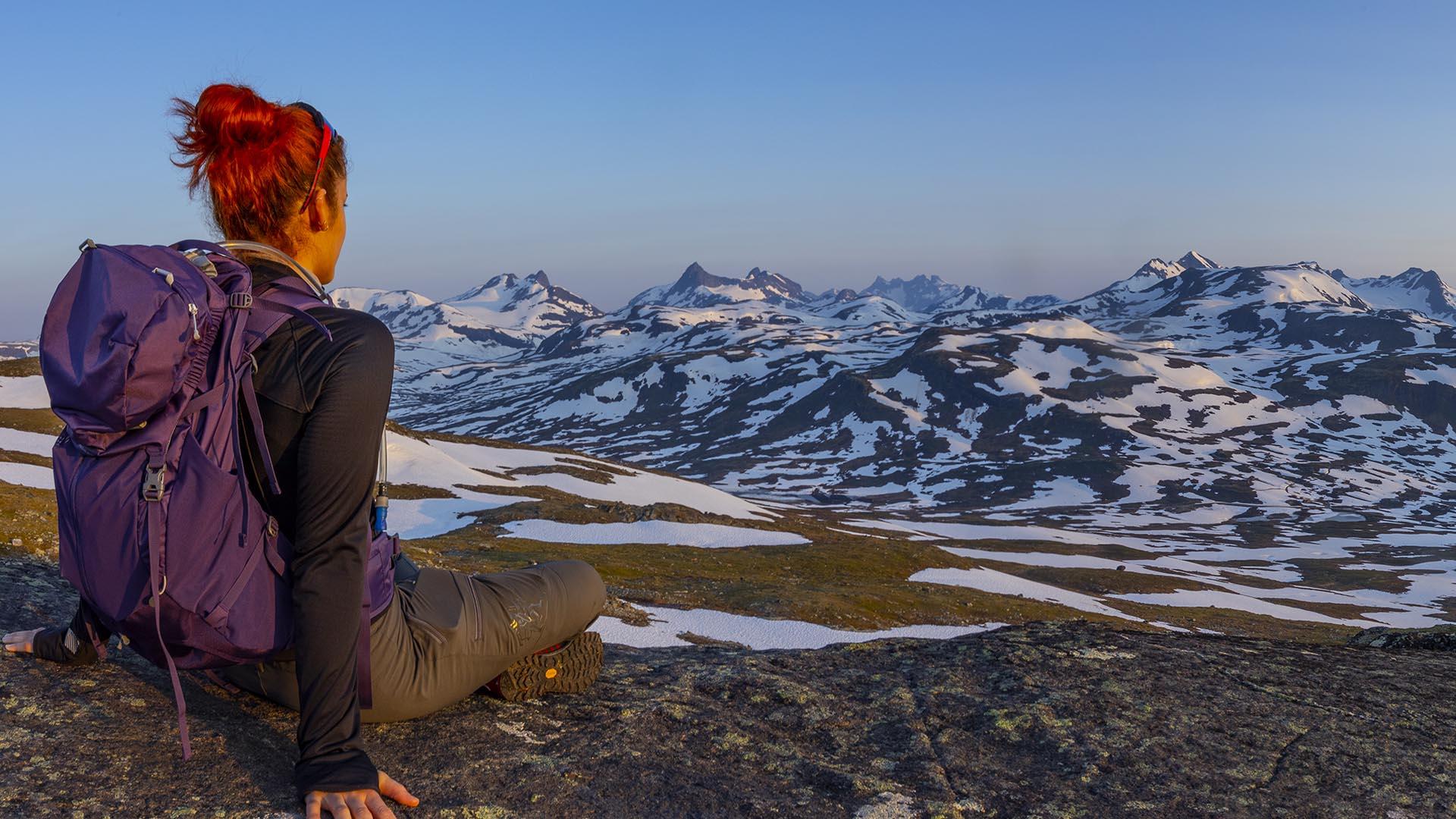
Skaget 1685 masl, Langsua National Park
Øystre Slidre
Skaget (1685 m.a.sl.) is the highest mountain peak in Langsua National Park.
Directions Follow road 51 to Heggenes and exit towards Yddin (toll…
Gilafjellet 1582 masl
Vestre Slidre
Moderately demanding walking (no climbing or scrambling) ascent. Fine view over lakes and mountains. Botanical Conservation Area. In poor sight it is…
Makalausfjellet 1099 masl
Sør-Aurdal
Makalaus is a child-friendly, fairly short and easy hike on open mountain terrain on the northern end of a mounain area that stretches south-east of…
Horntind (Hødntind) 1454 masl
Vang
Relatively easy hike with great view.
Length: approx. 5 km one way Duration: approx. 1.5 hrs. up Elevation gain: 400 meters Suitable for…
Espelifjellet 970 masl
Etnedal
Espelifjellet is a very short and easy hike for everyone, with a beautiful view over Etnedal.
Directions From Etnedal, drive up to Espelibygda…
Puttekollen (Valdreshornet) 509 masl
Sør-Aurdal
Length: ca. 1,5 km one way Duration: ca. 45−60 min up (from trail head) Elevation gain: ca. 200 meters Suitable for children: high Parking: along the…
Nøsakampen 1449 masl
Vang
Length: approx. 2.5 km one way Duration: approx. 1.5−2 hrs. up Elevation gain: 550 meters Suitable for children: from 5-6 yrs. GPS-coordinates…


Follow us on Facebook
Follow us on Instagram